About the CoMSES Model Library more info
Our mission is to help computational modelers at all levels engage in the establishment and adoption of community standards and good practices for developing and sharing computational models. Model authors can freely publish their model source code in the Computational Model Library alongside narrative documentation, open science metadata, and other emerging open science norms that facilitate software citation, reproducibility, interoperability, and reuse. Model authors can also request peer review of their computational models to receive a DOI.
All users of models published in the library must cite model authors when they use and benefit from their code.
Please check out our model publishing tutorial and contact us if you have any questions or concerns about publishing your model(s) in the Computational Model Library.
We also maintain a curated database of over 7500 publications of agent-based and individual based models with additional detailed metadata on availability of code and bibliometric information on the landscape of ABM/IBM publications that we welcome you to explore.
Displaying 10 of 199 results for "Andrea L Balbo" clear search
Human Environment Estuarine Systems Investigator
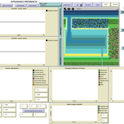
Andrew Allison | Published Friday, February 26, 2021This model simulates the form and function of an idealised estuary with associated barrier-spit complex on the north east coast of New Zealand’s North Island (from Bream Bay to central Bay of Plenty) during the years 2010 - 2050 CE. It combines variables from social, ecological and geomorphic systems to simulate potential directions of change in shallow coastal systems in response to external forcing from land use, climate, pollution, population density, demographics, values and beliefs. The estuary is over 1000Ha, making it a large estuary according to Hume et al. (2007) - there are 12 large estuaries in the Auckland region alone (Suyadi et al., 2019). The model was developed as part of Andrew Allison’s PhD Thesis in Geography from the School of Environment and Institute of Marine Science, University of Auckland, New Zealand. The model setup allows for alteration of geomorphic, ecological and social variables to suit the specific conditions found in various estuaries along the north east coast of New Zealand’s North Island.
This model is not a predictive or forecasting model. It is designed to investigate potential directions of change in complex shallow coastal systems. This model must not be used for any purpose other than as a heuristic to facilitate researcher and stakeholder learning and for developing system understanding (as per Allison et al., 2018).
Human-in-the-loop Experiment of the Strategic Coalition Formation using the glove game
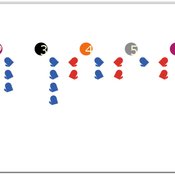
Andrew Collins | Published Monday, November 23, 2020 | Last modified Wednesday, June 22, 2022The purpose of the model is to collect information on human decision-making in the context of coalition formation games. The model uses a human-in-the-loop approach, and a single human is involved in each trial. All other agents are controlled by the ABMSCORE algorithm (Vernon-Bido and Collins 2020), which is an extension of the algorithm created by Collins and Frydenlund (2018). The glove game, a standard cooperative game, is used as the model scenario.
The intent of the game is to collection information on the human players behavior and how that compares to the computerized agents behavior. The final coalition structure of the game is compared to an ideal output (the core of the games).
Multi-Hazard Coastal Agent-Based Model (MHCABM)
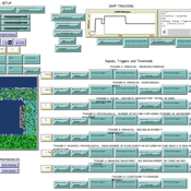
Andrew Allison | Published Thursday, August 05, 2021MHCABM is an agent-based, multi-hazard risk interaction model with an integrated applied dynamic adaptive pathways planning component. It is designed to explore the impacts of climate change adaptation decisions on the form and function of a coastal human-environment system, using as a case study an idealised patch based representation of the Mount North-Omanu area of Tauranga city, New Zealand. The interacting hazards represented are erosion, inundation, groundwater intrusion driven by intermittent heavy rainfall / inundations (storm) impacts, and sea level rise.
Modelling Farmers’ Adoption Potential to New Bioenergy Crops
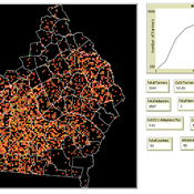
Andrew Crooks | Published Tuesday, November 29, 2022A model that representa farmers potential to adopt bio-fuels in Georgia
ManPest
François Rebaudo | Published Tuesday, February 25, 2014 | Last modified Wednesday, August 27, 2014The purpose of the model is to explore the impacts of global change on the ability of a community of farmers to adapt their practices to an agricultural pest.
Parental choices, children's skills, and skill inequality: An agent-based model implemented in Python
Andrés Cardona | Published Thursday, October 30, 2014The model explores the emergence of inequality in cognitive and socio-emotional skills at the societal level within and across generations that results from differences in parental investment behavior during childhood and adolescence.
NDiv
Andre Costopoulos | Published Tuesday, April 10, 2018 | Last modified Monday, April 30, 2018Code for my SAA2018 Presentation
PluchinoEtAl_ExtendedByAC
Andre Costopoulos | Published Tuesday, September 03, 2019 | Last modified Friday, January 31, 2020Extension of Pluchino et al.’s 2018 success vs talent model, to allow talented individuals to mitigate unlucky events.
PopComp
Andre Costopoulos | Published Thursday, December 10, 2020PopComp by Andre Costopoulos 2020
[email protected]
Licence: DWYWWI (Do whatever you want with it)
I use Netlogo to build a simple environmental change and population expansion and diffusion model. Patches have a carrying capacity and can host two kinds of populations (APop and BPop). Each time step, the carrying capacity of each patch has a given probability of increasing or decreasing up to a maximum proportion.
…
Deforest
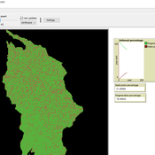
Mohammad Aghajani | Published Saturday, January 20, 2024 | Last modified Saturday, January 20, 2024Deforest with GIS layers
This model has developed in Netlogo software and utilizes
the GIS extension.
It simulates deforestation with parameters such as the number of animals,
percentage of cut wood ,forest regeneration percentage ,
…
Displaying 10 of 199 results for "Andrea L Balbo" clear search
