About the CoMSES Model Library more info
Our mission is to help computational modelers at all levels engage in the establishment and adoption of community standards and good practices for developing and sharing computational models. Model authors can freely publish their model source code in the Computational Model Library alongside narrative documentation, open science metadata, and other emerging open science norms that facilitate software citation, reproducibility, interoperability, and reuse. Model authors can also request peer review of their computational models to receive a DOI.
All users of models published in the library must cite model authors when they use and benefit from their code.
Please check out our model publishing tutorial and contact us if you have any questions or concerns about publishing your model(s) in the Computational Model Library.
We also maintain a curated database of over 7500 publications of agent-based and individual based models with additional detailed metadata on availability of code and bibliometric information on the landscape of ABM/IBM publications that we welcome you to explore.
Displaying 10 of 83 results for "Nadine Andrieu" clear search
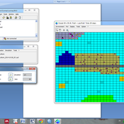
AMBAWA, an Agent-based Model of Biomass flows in Agropastoral areas of West Africa
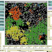
David Berre Tidiane Diarisso Christophe Le Page Nadine Andrieu Marc Corbeels François Bousquet Pablo Tittonell | Published Monday, November 23, 2015 | Last modified Sunday, April 12, 2020AMBAWA simulates the flows of biomass between crop and livestock systems at the field, farm, and village scales in order to showcase innovating management practices of soil fertility in West Africa.
Human Environment Estuarine Systems Investigator
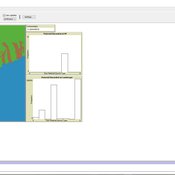
Andrew Allison | Published Friday, February 26, 2021This model simulates the form and function of an idealised estuary with associated barrier-spit complex on the north east coast of New Zealand’s North Island (from Bream Bay to central Bay of Plenty) during the years 2010 - 2050 CE. It combines variables from social, ecological and geomorphic systems to simulate potential directions of change in shallow coastal systems in response to external forcing from land use, climate, pollution, population density, demographics, values and beliefs. The estuary is over 1000Ha, making it a large estuary according to Hume et al. (2007) - there are 12 large estuaries in the Auckland region alone (Suyadi et al., 2019). The model was developed as part of Andrew Allison’s PhD Thesis in Geography from the School of Environment and Institute of Marine Science, University of Auckland, New Zealand. The model setup allows for alteration of geomorphic, ecological and social variables to suit the specific conditions found in various estuaries along the north east coast of New Zealand’s North Island.
This model is not a predictive or forecasting model. It is designed to investigate potential directions of change in complex shallow coastal systems. This model must not be used for any purpose other than as a heuristic to facilitate researcher and stakeholder learning and for developing system understanding (as per Allison et al., 2018).
Simulating Water, Individuals, and Management (SWIM)
John Murphy | Published Friday, July 05, 2019SWIM is a simulation of water management, designed to study interactions among water managers and customers in Phoenix and Tucson, Arizona. The simulation can be used to study manager interaction in Phoenix, manager and customer messaging and water conservation in Tucson, and when coupled to the Water Balance Model (U New Hampshire), impacts of management and consumer choices on regional hydrology.
Publications:
Murphy, John T., Jonathan Ozik, Nicholson T. Collier, Mark Altaweel, Richard B. Lammers, Alexander A. Prusevich, Andrew Kliskey, and Lilian Alessa. “Simulating Regional Hydrology and Water Management: An Integrated Agent-Based Approach.” Winter Simulation Conference, Huntington Beach, CA, 2015.
Maze with Q-Learning NetLogo extension
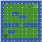
Kevin Kons Fernando Santos | Published Tuesday, December 10, 2019This is a re-implementation of a the NetLogo model Maze (ROOP, 2006).
This re-implementation makes use of the Q-Learning NetLogo Extension to implement the Q-Learning, which is done only with NetLogo native code in the original implementation.
Peer reviewed Ideal Free Distribution of Mobile Pastoralists in the Logone Floodplain, Cameroon
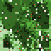
Mark Moritz Ian M Hamilton Andrew Yoak Hongyang Pi Jeff Cronley Paul Maddock | Published Thursday, June 19, 2014 | Last modified Saturday, January 06, 2018The purpose of the model is to examine whether and how mobile pastoralists are able to achieve an Ideal Free Distribution (IFD).
An Individual-Based Mechanistic Model of Mussel Bed Boundary Formation and Intensity
Matthew Schumm | Published Saturday, September 28, 2019Individually parameterized mussels (Mytilus californianus) recruit, grow, move and die in a 3D environment while facing predation (in the form of seastar agents), heat and desiccation with increased tide height, and storms. Parameterized with data collected by Wootton, Paine, Kandur, Donahue, Robles and others. See my 2019 CoMSES video presentation to learn more.
LaMEStModel
Ruth Meyer | Published Friday, October 12, 2018The Labour Markets and Ethnic Segmentation (LaMESt) Model is a model of a simplified labour market, where only jobs of the lowest skill level are considered. Immigrants of two different ethnicities (“Latino”, “Asian”) compete with a majority (“White”) and minority (“Black”) native population for these jobs. The model’s purpose is to investigate the effect of ethnically homogeneous social networks on the emergence of ethnic segmentation in such a labour market. It is inspired by Waldinger & Lichter’s study of immigration and the social organisation of labour in 1990’s Los Angeles.
Peer reviewed FishCensus
Miguel Pais | Published Tuesday, December 06, 2016 | Last modified Thursday, February 09, 2017The FishCensus model simulates underwater visual census methods, where a diver estimates the abundance of fish. A separate model is used to shape species behaviours and save them to a file that can be shared and used by the counting model.
Peer reviewed Applying Brantingham’s Neutral Model of Stone Raw Material Procurement to the Pinnacle Point Middle Stone Age Record, Western Cape, South Africa
Simen Oestmo Marco Janssen Haley Cawthra | Published Sunday, March 10, 2019This model is an application of Brantingham’s neutral model to a real landscape with real locations of potential sources. The sources are represented as their sizes during current conditions, and from marine geophysics surveys, and the agent starts at a random location in Mossel Bay Region (MBR) surrounding the Archaeological Pinnacle Point (PP) locality, Western Cape, South Africa. The agent moves at random on the landscape, picks up and discards raw materials based only upon space in toolkit and probability of discard. If the agent happens to encounter the PP locality while moving at random the agent may discard raw materials at it based on the discard probability.
ThomondSim
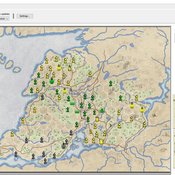
Vinicius Marino Carvalho | Published Monday, April 25, 2022 | Last modified Friday, May 12, 2023ThomondSim is a simulation of the political and economic landscape of the medieval kingdom of Thomond, southwestern Ireland, between 1276 and 1318.
Its goal is to analyze how deteriorating environmental and economic conditions caused by the Little Ice Age (LIA), the Great European Famine of 1315-1322, and wars between England and Scotland affected the outcomes of a local war involving Gaelic and English aristocratic lineages.
This ABM attempts to model both the effects of devastation on the human environment and the modus operandi of late-medieval war and diplomacy.
The model is the digital counterpart of the science discovery board game The Triumphs of Turlough. Its procedures closely correspond to the game’s mechanics, to the point that ToT can be considered an interactive, analog version of this ABM.
Displaying 10 of 83 results for "Nadine Andrieu" clear search
